> For the complete documentation index, see [llms.txt](https://docs.auterion.com/llms.txt). Markdown versions of documentation pages are available by appending `.md` to page URLs; this page is available as [Markdown](https://docs.auterion.com/vehicle-operation/auterion-mission-control/useful-resources/operations/terrain-following.md).
# Terrain Following
This feature enables the vehicle to follow the terrain altitude data provided by certified map providers, ensuring improved resolution for mapping missions on uneven terrain.
{% hint style="warning" %}
During a Terrain Following mission, pilots must exercise extra caution when operating at low altitudes.
The terrain data provided does not account for obstacles such as trees or masts!
{% endhint %}
### Enabling Terrain Follow
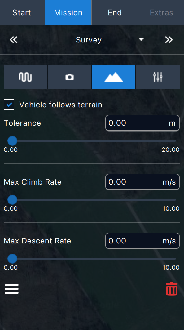
After successfully planning a Survey Pattern , you can enable this feature by clicking the Terrain icon (represented by two mountains) in the [Mission Menu](/vehicle-operation/auterion-mission-control/ui-breakdown/plan/plan-tools/survey-patterns/survey.md).\
Check the box for ***"Vehicle follows terrain"***\\
### Set-up
#### Tolerance
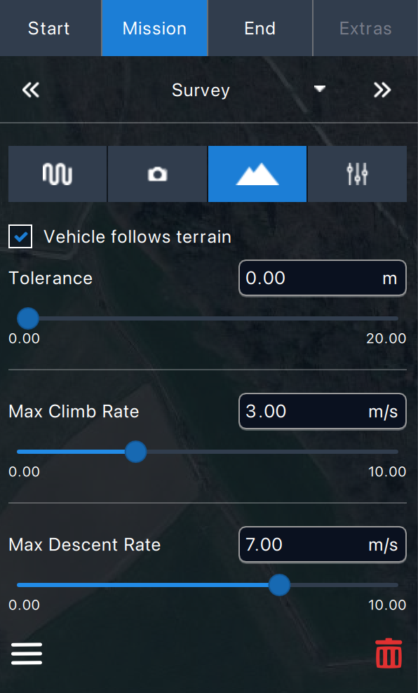
This allows you to set an acceptable margin for the required survey altitude. The higher the tolerance, the fewer waypoints with varying altitudes are set, resulting in more steeper climb and descent rates.
**e.g. low tolerance**\

**e.g. high tolerance**\

#### Max Climb & Descent Rate
This defines the maximum vertical speed the vehicle can use to reach the next waypoint. This value is set as a limit, and the vehicle will typically follow a calculated speed that is most likeley lower than the maximum set.\\
{% hint style="danger" %}
Please note: During takeoff, the vehicle will adopt the AGL altitude set on its first waypoint. As a result, if the first waypoint is set on a lower altitude than the takeoff location, the take off altitude may differ from what the pilot expects.
This also applies when resuming mission interruptions.
{% endhint %}